Bigroads Logo
  Home / U.S. State Travel Guides / U.S. Vacations / U.S. National Parks / U.S. State Highpoints / U.S. Road Trip Planning
grayline

TOP 25 DAY HIKES IN ARIZONA

Bell Rock scramble, Sedona West Rim Trail / Oak Creek Canyon, Sedoa Camelback Mountain, Phoenix

Welcome to the Bigroads.com guide to the top 25 day hikes in Arizona!

There's so much more to hiking in Arizona than the Grand Canyon. In fact, there are several hundred trails across the state. With over 1000 miles of trails, it can be tough to decipher which trails are the very best in Arizona. We've done that homework for you, and as such, we are proud to present what we feel are the top 25 day hikes in Arizona. If you are blessed with an opportunity to hike any of these 5-star rated trails, you absolutely should!

Take note that we have purposely excluded the following types of trails: (a) those that require extensive cross-country ("bushwhacking") travel; (b) technical slot canyons; and (c) hikes that require extensive 4WD high clearance travel to get to the trailhead.

Author/Contributor: Greg Parsons

grayline

STATE HIKE / TRAIL NAME PARK TOTAL ROUND-TRIP DISTANCE
Arizona Arizona Hot Springs Lake Mead National Recreation Area 6.0 miles (note: trail is closed in summer)
Arizona Bear Mountain Trail Coconino National Forest 4.8 miles
Arizona Bell Rock Hike/Scramble Coconino National Forest 1.5 miles (longer options are available)
Arizona Bright Angel Trail to 3 Mile Resthouse Grand Canyon National Park 6.0 miles (shorter and longer options are available)
Arizona Camelback Mountain Echo Canyon Recreation Area 2.4 miles (longer options are available)
Arizona Cape Final Grand Canyon National Park 4.0 miles
Arizona Cobra Arch Vermilion Cliffs National Monument 6.8 miles (off-trail hike)
Arizona Coyote Buttes North / The Wave Vermilion Cliffs National Monument 6.0 miles
Arizona Devil's Bridge / Devil's Bridge Trail Coconino National Forest 4.0 miles (shorter w/high clearance 4WD)
Arizona Flatiron / Siphon Draw Trail Lost Dutchman State Park 5.5 miles
Arizona Grandview Trail Grand Canyon National Park minimum of 2.2 miles (longer options are available)
Arizona Heart of Rocks Big Loop / Echo Canyon Chiricahua National Monument 9.5 miles (although shorter options do exist)
Arizona Horseshoe Bend Glen Canyon National Recreation Area 1.5 miles
Arizona Hugh Norris Trail / Wasson Peak Saguaro National Park 9.8 miles (longer options are available)
Arizona Humphrey's Peak / Humphrey's Trail Coconino National Forest 9.0 miles (longer options are available)
Arizona Hunter Trail / Picacho Peak Picacho Peak State Park 4.0 miles (longer options are available)
Arizona North Kaibab Trail Grand Canyon National Park 3.6 miles (longer options are available)
Arizona Rim Trail Grand Canyon National Park up to 13 miles each way; this trail is 100% paved
Arizona Piestewa Peak / Summit Trail Phoenix Mountains Preserve 2.4 miles (longer options are available)
Arizona South Kaibab Trail Grand Canyon National Park minimum of 3.0 miles (longer options are available)
Arizona Weaver's Needle / Peralta Trail Tonto National Forest 4.8 miles (longer options are available)
Arizona West Fork Trail / Oak Creek Canyon Coconino National Forest 8.0 miles, which includes 1.5 miles of hiking in the river
Arizona White House Ruin Trail Canyon de Chelly National Monument 2.5 miles
Arizona White Pocket Vermilion Cliffs National Monument 1-2 miles, depending upon how much you meander
Arizona Wilson Mountain Coconino National Forest 6.4 miles

grayline

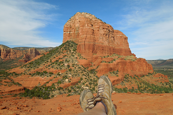
a scramble up Bell Rock in Sedona lands you these views
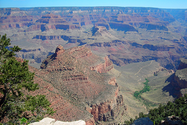

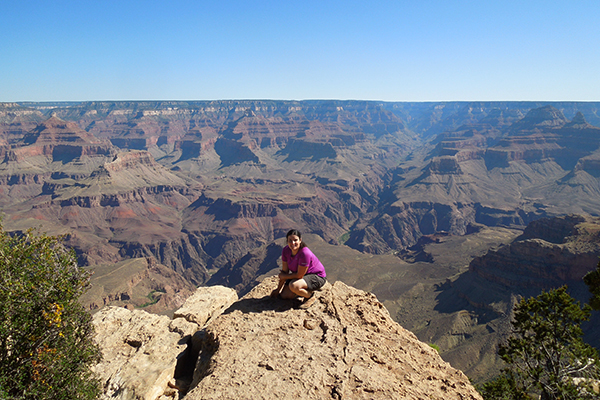
view from near the start of the Bright Angel Trail, Grand Canyon National Park
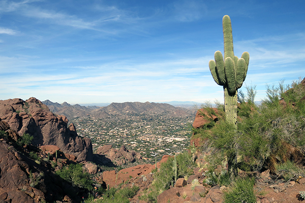

views on Camelback Mountain, Phoenix
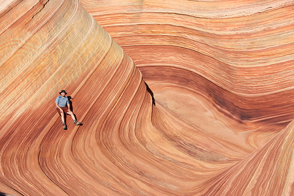

The Wave, Coyote Buttes North, Vermilion Cliffs National Monument
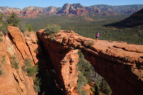

Devil's Bridge within Coconino National Forest near Sedona
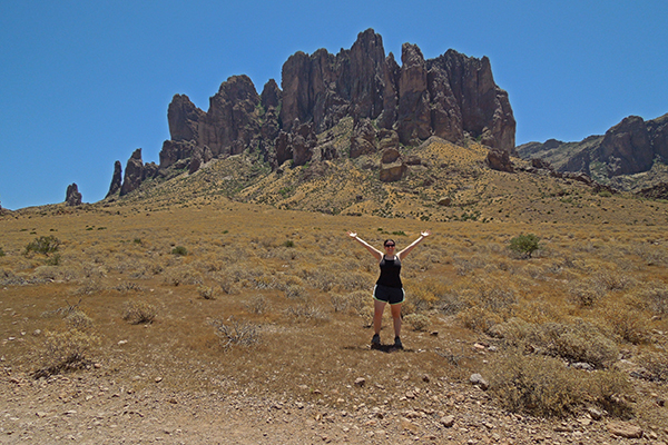

on the way to the Flatiron, Lost Dutchman State Park
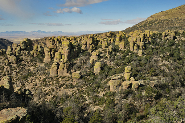

Heart of Rocks Big Loop, Chiricahua National Monument
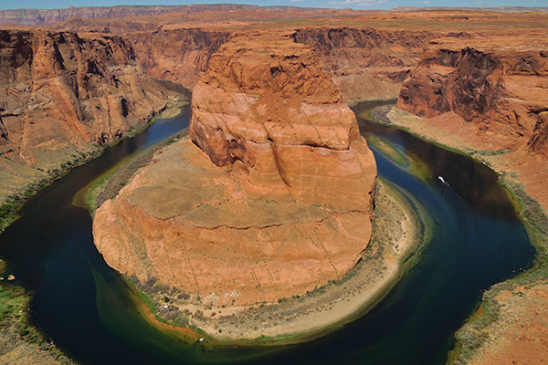

Horseshoe Bend, Glen Canyon National Recreation Area
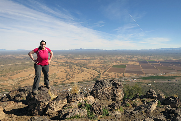

from the top of Pichaco Peak
from the top of Picacho Peak

views from the Rim Trail, Grand Canyon National Park
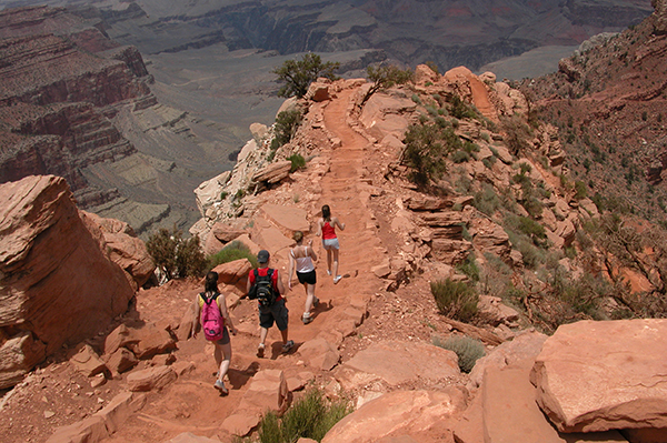

on the way down the South Kaibab Trail, Grand Canyon National Park
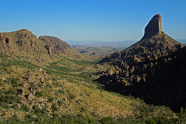

view of Weaver's Needle from the Peralta Trail, Tonto National Forest
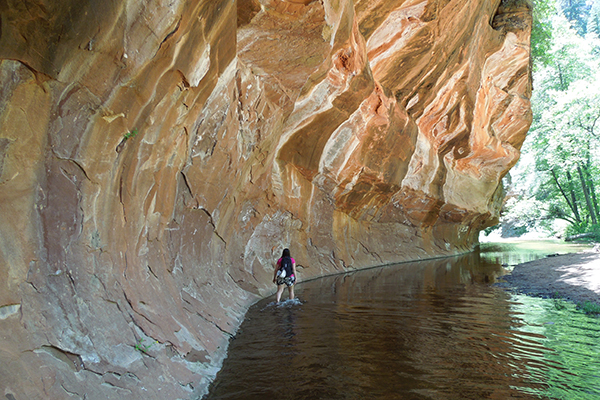

Oak Creek Canyon, Sedona
West Fork Trail / Oak Creek Canyon, Sedona

grayline

RUNNER-UPS: HIKES ALMOST GOOD ENOUGH TO MAKE THE TOP 25 LIST

Here are a list of other fantastic hikes in Arizona that we considered for the top 25 list above. We highly recommend each and every one of these hikes (in other words, make sure they are all placed on your bucket list). Please send us an email @ gparsons66@hotmail.com if you know of any hikes worthy of being on this list.

STATE HIKE / TRAIL NAME PARK
Arizona Battleship Mountain Tonto National Forest
Arizona Cathedral Rock Trail / Cathedral Rock Coconino National Forest
Arizona Cathedral Wash Grand Canyon National Park
Arizona Lava River Cave Coconino National Forest
Arizona Mount Ajo Organ Pipe Cactus National Monument
Arizona Mount Wrightson Coronado National Forest
Arizona Picketpost Mountain Tonto National Forest
Arizona Sugarloaf Mountain Trail Chiricahua National Monument
Arizona Wildcat Trail Monument Valley Navajo Tribal Park

grayline
As an Amazon Associates affiliate, this website contains affiliate links. If you choose to purchase any products after clicking any Amazon.com link, I may receive a commission at no extra cost to you. I only endorse products that I have personally used or those that come highly recommended by trusted peers.
grayline
  Home / U.S. State Travel Guides / U.S. Vacations / U.S. National Parks / U.S. State Highpoints / U.S. Road Trip Planning
Travel & outdoor activities can be extremely dangerous. Use of this website and all of its information is at your own risk! We strongly believe in personal responsibility when it comes to staying safe. We will not be held liable for any injuries and/or death that occur.
-------------------------------------------------------------------------------------------------------------------------------------
© www.bigroads.com / email: gparsons66@hotmail.com